Datil Well Recreation Area Campground
Datil, New Mexico · Bureau of Land Management
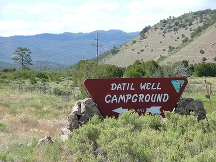
Photo: Recreation.gov
About
Datil Well Recreation Area Campground includes one of 15 water wells along the old Magdalena Livestock Driveway. The old cattle trail was established in the 1800s and stretched 120 miles from Springerville, AZ, to Magdalena, NM. The area includes 3 miles of hiking trails in pinyon-juniper and ponderosa pine woodlands, with scenic views of the San Augustin Plains. The trail and vistas also offer an occasional glimpse of wildlife in a setting of quiet and solitude. If you close your eyes, you can almost hear the cattle lowing as they settle in for the night. Please leave a clean camp and respect the facilities and natural surroundings.
Directions
The Datil Well Recreation Area Campground is off of US 60. Go 1 mile west of Datil on US 60 or south on NM 12, then turn onto Datil WI Loop and travel for a quarter mile to get to Datil Well Campground.
Location
Map tiles © OpenStreetMap.
Details
- State
- New Mexico
- City / area
- Datil
- Agency
- Bureau of Land Management
- Parent area
- —
- Campsites
- —
- Reservable
- No / see Recreation.gov
- Typical price
- See Recreation.gov
- Equipment
- See Recreation.gov
Nearby campgrounds
- El Caso I-IV Campground 56.3 km away
- Pinon Campground (Quemado Lake) 57.6 km away · dump mentioned
- Piñon Campground 57.6 km away · dump mentioned
- Juniper Campground (Quemado Lake) 58.1 km away · dump mentioned
- Water Canyon Campground 68.3 km away
- Water Canyon Picnic Area 68.5 km away