Joaquin Miller Horse Camp
Burns, Oregon · USDA Forest Service
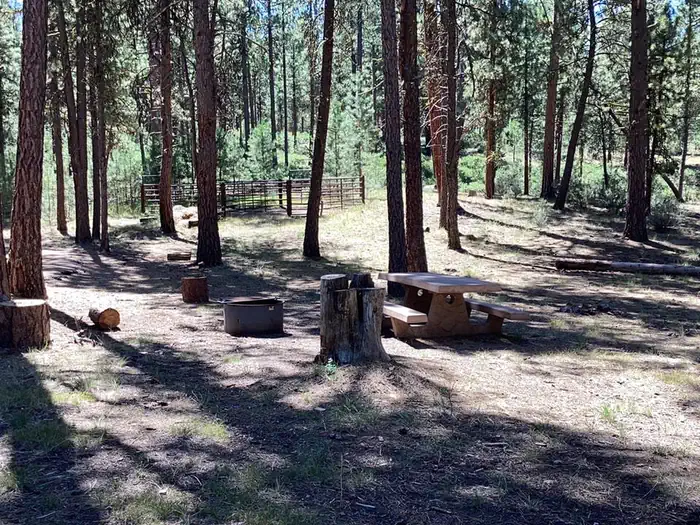
Photo: Recreation.gov
About
Joaquin Miller Campground is located 19 miles north of Burns, Oregon on US Highway 395. Despite the easily accessed location, this 8 site campground receives light use most of the year. Developed to accommodate stock, Joaquin Miller has two pipe stock corrals and hitching rails available to users. Please pack out what you pack in, there is no trash service provided.For local information, please call (541) 573-4300 or call (541) 575-3000 for general information.Horse corrals vault toiletsIdlewild Campground Rock Springs Campground Idlewild Loop Trail Joaquin Miller Horse Trail Poison Creek Reservoir Burns BLM
Directions
From the town of Burns, OR., travel 2.8 miles east on US Highway 20 to the junction with US Highway 395 turn north onto US Highway 395. Continue on US Highway 395 north towardst he town of John Day, OR., approximately 16.4 miles, the campground will be on the left.
Location
Map tiles © OpenStreetMap.
Details
- State
- Oregon
- City / area
- Burns
- Agency
- USDA Forest Service
- Parent area
- Malheur National Forest
- Campsites
- 12
- Reservable
- Yes
- Typical price
- $8 / night
- Equipment
- See Recreation.gov
Nearby campgrounds
- Idlewild Campground 3.3 km away
- IDLEWILD 3.4 km away
- Rock Springs Campground 22.2 km away
- Falls Campground (Malheur National Forest) 35.3 km away
- Parish Cabin Campground 42.6 km away
- Wickiup Campground 44.4 km away