Tadra Point
Alvord, Texas · USDA Forest Service
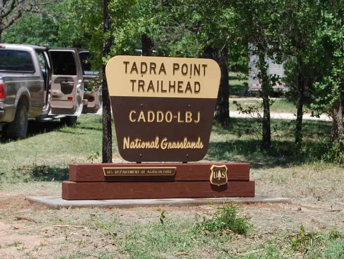
Photo: Recreation.gov
About
This location is available on a first-come, first-served basis only. Visitors are required to physically arrive at the campground to purchase and claim a site. Once on-site, you may be able to pay for your campsite(s) by scanning a QR code using the Recreation.gov mobile app, and the Scan and Pay feature. If this option is available, you will need to first download the free Recreation.gov mobile app https://www.recreation.gov/mobile-app prior to your arrival as some remote areas have limited or no cellular service. TADRA Point Trailhead has 20 parking spurs and 6 pull thoughs with numerous hitching posts available. There is water for horses and a pavilion with grill. Located south of Cottonwood Lake along FS Road 900, TADRA Point Trailhead is at the confluence of the five loops that comprise the 75-mile LBJ Multi-Use Trail System. The trailhead was constructed through the volunteer efforts of local equestrian groups and is used throughout the year as headquarters for various non-commercial group events, including equestrian endurance rides. Cottonwood Lake and Little Cottonwood Lake
Directions
From Decatur: North on FM 730 for 10 miles, left on CR 2461 (Cottonwood Cemetery Road), at fork turn right on CR 2560 for 3 miles then left on FS 900 for 2 miles. TADRA Point Trailhead will be on the right.
Location
Map tiles © OpenStreetMap.
Details
- State
- Texas
- City / area
- Alvord
- Agency
- USDA Forest Service
- Parent area
- National Forests and Grasslands in Texas
- Campsites
- 1
- Reservable
- Yes
- Typical price
- $10 / night
- Rating
- 4.00 / 5 (3 reviews on Recreation.gov)
- Equipment
- See Recreation.gov
Nearby campgrounds
- Black Creek Lake 3.3 km away
- Valley View Group Use 4.3 km away
- Hickory Creek (TX) 58.6 km away · dump mentioned
- WESTLAKE DAY USE 62.1 km away
- MURRELL PARK 62.2 km away
- NORTH HOLIDAY PARK 80.7 km away