French Creek Campground (WY)
Encampment, Wyoming · USDA Forest Service
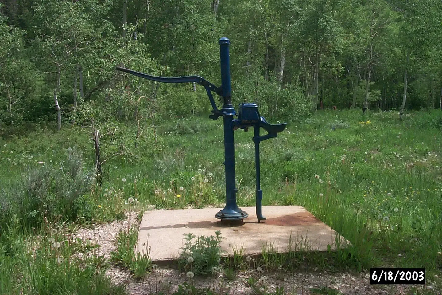
Photo: Recreation.gov
About
French Creek Campground is located on Forest Road 206. Facilities include 11 campsites (small trailers only up to 32 feet), water, picnic tables, toilets, fire grates and Trash Service is NOT Provided . Note: No water or trash services beyond mid September.) Fishing access is available nearby in both North and South French Creeks. The Lower Tie Hack trailhead is .25 mile east of the campground. The Snowy Range offers endless recreational activities for any kind of visitor. Specifically, the Snowy Range contains a network of hiking trails suitable for day hiking and for extended, backcountry trips. Additionally, Streams and over 100 lakes in the area provide a variety of challenging recreational-fishing opportunities in the area. Popular attractions near this campground include Silver Lake, Lake Marie Falls, Mirror Lake, Medicine Bow Peak Trail, French Creek Canyon Trail and Miners Cabin Trail. Winter activities in the area include snowshoeing and skiing. Mountain Biking Areas for Mountain Biking at Snowy Range Area • Bow River Campground • Deep Creek Campground • French Creek Campground • French Creek Canyon Trail • Keystone Cabins • Lake Owen Trailhead • Little Brooklyn Guard Station • Little Laramie Trailhead • North Fork Campground • Pinkham Mountain Trailhead • Rock Creek Trailhead • Sheep Lake Trailhead • Snow Survey Cabin • Spruce Mountain Fire Lookout • Tie Hack Lower Trailhead • Tie Hack Upper Trailhead • Tipple Trail Trailhead Mountain Climbing Areas for Mountain Climbing at Snowy Range Area • Lewis Lake Picnic Site • Libby Lake Picnic Site Day Hiking Areas for Day Hiking at Snowy Range Area • Brooklyn Lake Campground • Brush Creek Trails • Chimney Park Trailhead • Corner Mountain Trailhead • Crater Lake Trailhead • Deep Creek Campground • Deep Lake Trail • Dipper Lake Trail • French Creek Campground • French Creek Canyon Trail • Green Rock Parking Lot • Green Rock Picnic Site • Keystone Cabins • Lake Owen Trailhead • Lakes Trailhead • Lewis Lake Picnic Site • Libby Lake Picnic Site • Little Brooklyn Guard Station • Little Laramie Trailhead • Meadow Falls Trailhead • Miner's Cabin Trailhead • North Fork Campground • Platte River Wilderness • Quealy Lake Trailhead • Rock Creek Trailhead • Routt Access Trailhead • Ryan Park Campground • Savage Run Wilderness • Sheep Lake Trailhead • Silver Lake Campground • Silver Lake Trailhead • Six Mile Trailhead • Snow Survey Cabin • South Brush Creek Campground • Spruce Mountain Fire Lookout • Sugarloaf Campgro
Directions
From Riverside, WY take Hwy 230 east 4 miles to County Road 660. Take County Road 660 approximately 14 miles to the Forest boundary and continue to campground on Forest Road 206 for approximately one mile.
Location
Map tiles © OpenStreetMap.
Details
- State
- Wyoming
- City / area
- Encampment
- Agency
- USDA Forest Service
- Parent area
- Medicine Bow-Routt NFs & Thunder Basin NG
- Campsites
- 11
- Reservable
- Yes
- Typical price
- $14 / night
- Rating
- 4.00 / 5 (3 reviews on Recreation.gov)
- Equipment
- See Recreation.gov
Nearby campgrounds
- Corral Creek Campground 8.7 km away
- Bennett Peak Campground 10.1 km away
- Bennett Creek Campground 10.3 km away
- RYAN PARK 11.1 km away
- BRUSH CREEK WORK CENTER BARRACK 13.1 km away
- South Brush Creek Campground (WY) 13.3 km away